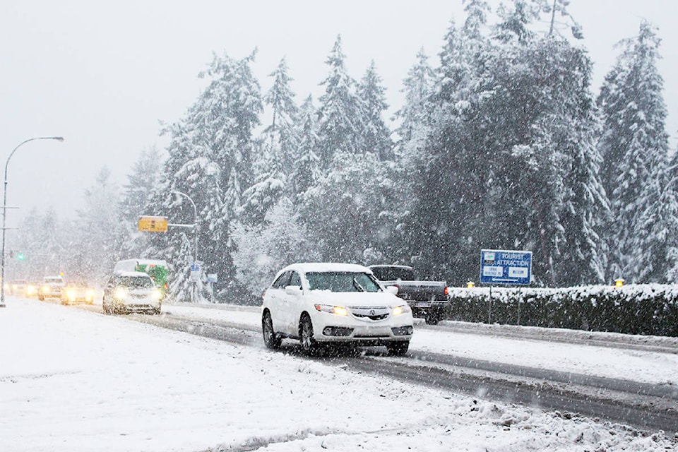
Much of central British Columbia is bracing for the next winter wallop, as Environment Canada has posted snowfall or winter-storm warnings for areas from the north coast all the way to the Alberta border.
Up to 30 centimetres of snow is forecast for some regions as the storm crosses the province, while travel on Highway 1 from Eagle Pass to Rogers Pass is expected to be particularly treacherous before conditions ease late Saturday.
Meanwhile, power remains out for about 1,600 customers on B.C.’s south coast eight days after the strongest wind storm in recent memory swept across the region.
READ MORE: Snowfall warning in effect for Williams Lake, Quesnel
Hundreds of BC Hydro workers have toiled around the clock to fix remaining outages concentrated on several southern Gulf Islands, where damage from fallen trees and toppled power poles is most extreme.
The Crown utility reports power returned to about 2,400 customers Thursday, while it says 70 crews will be working on Galiano, Pender, Mayne, Salt Spring, Gabriola, Thetis, and Saturna islands through Friday.
More than 700,000 homes and businesses were in the dark at the height of the Dec. 20 storm and Hydro says in a social-media message that crews are continually being deployed to rebuild damaged transformers, poles and other infrastructure as repairs wrap up.
The Canadian Press